 Sunreach
Explainers · Updated
Plan drone filming around sunlight and shadows
Drone view lets you explore an aerial composition at different heights and times, including still, forward and orbit hyperlapse previews. Use it to choose a candidate light window, then check the operational flight plan separately.
Sunreach is a 3D and AR sun tracker for iPhone and iPad, coming soon to the App Store. This guide describes the current app; planned upgrades are listed separately. Terrain coverage varies by location.
Why is a light planner useful for drone operators?
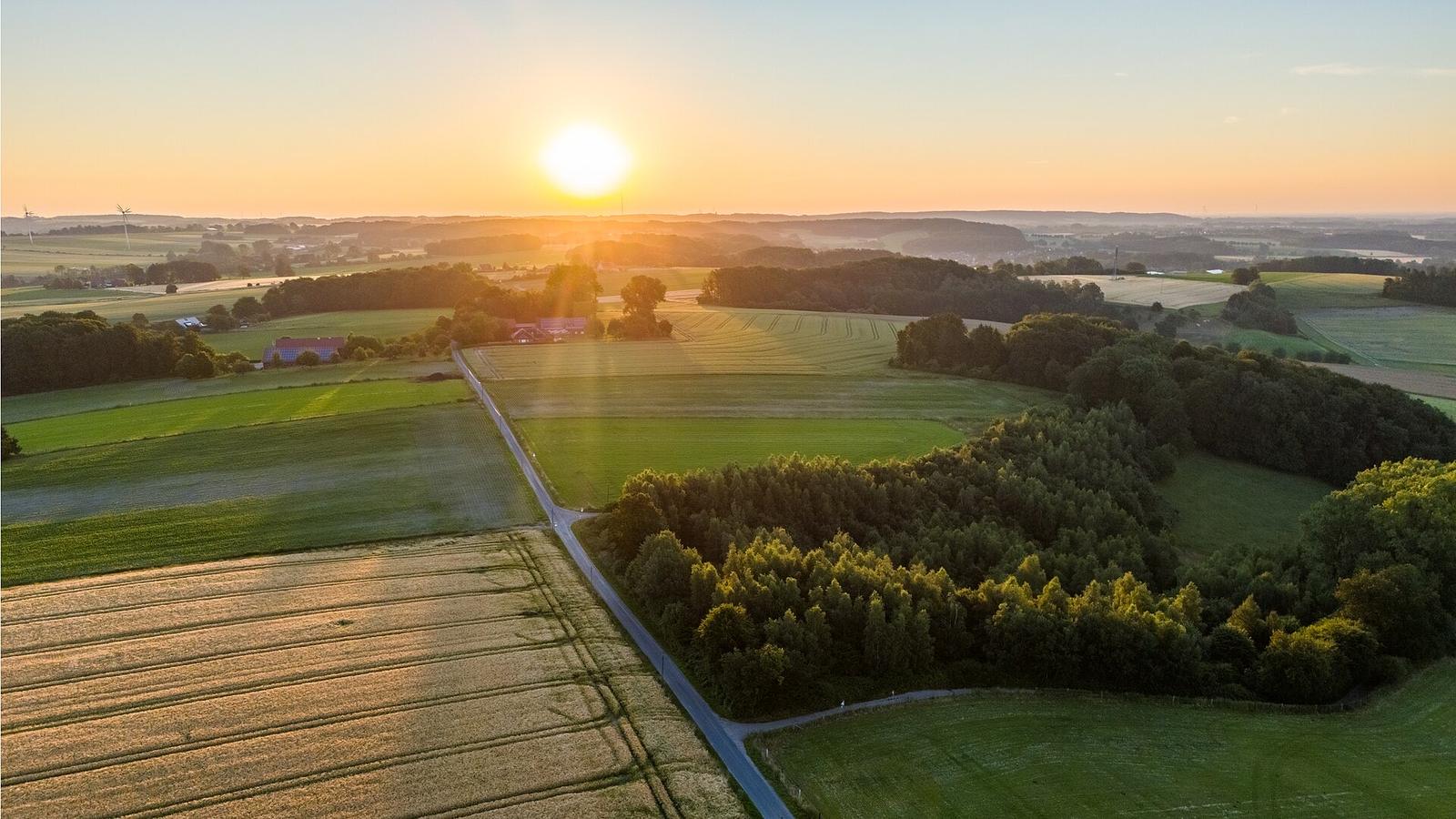
The sun’s direction and terrain shadows change the aerial image as well as the ground view. Previewing a composition at different times helps you choose when to capture the landscape or begin a hyperlapse.
A valley can remain shaded while a ridge is lit. An elevated camera can see a different arrangement of terrain and sun than a person standing at the take-off point. Drone view lets you inspect that visual difference before choosing a time.
Sunreach is a light and composition planner. It does not fly the aircraft or decide whether the flight is permitted.
What can the current drone view do?
It can raise the preview camera above the selected pin, adjust camera height and simulate still, forward or orbit hyperlapse plans while the clock changes. The drone view is part of Sunreach Pro. The planned movement is shown in the 3D view.
Enable Drone view in the app settings, then open it in the 3D stage. The current height control spans 10–120 metres. Forward distance, orbit radius/turn and time span let you explore a shot concept; playback and scrubbing move the preview camera and time together.
Those are the current app controls, not a statement about the legal height or operating category at any destination.
Sunreach computes this for any spot on Earth, from the real terrain around it. Get the app ↓
How do I choose a time for a drone shot?
Choose the place and date, inspect the sun direction at your proposed camera height, and compare how the terrain shadows look at earlier and later times. Use that comparison to choose a candidate light window.
- Set the pin near the planned take-off area and choose the date.
- Enable drone view and set the preview height.
- Move the time to compare front, side and back lighting for your composition.
- For a hyperlapse, choose still, forward or orbit and a time span, then scrub or play it.
- Check the real location and flight conditions before making an operational plan.
What does drone view not tell me?
It does not provide airspace clearance, obstacle avoidance, a flight-safety decision or confirmed wind conditions at altitude. The normal direct-sun readout belongs to the selected pin, not a separately validated aerial sunlight calculation.
Visual camera height does not mean every light metric has been recalculated at that height. Fine obstacles and recent changes can be missing from the terrain model, and the visual flight line is a composition preview rather than an executable flight route.
Check permissions, local aviation rules, weather, obstacles and equipment separately. Country-by-country terrain improvements are planned on the roadmap.
Frequently asked questions
Does the browser demo include drone controls?
No. The browser demo is a small Yosemite sun example with orbit and eye-level modes. Drone view and hyperlapse controls are in the iPhone and iPad app.
Does the 120-metre control mean I may fly that high?
No. It is the current preview control range. Permission, legal operating limits and actual site conditions require separate checks.
Sources
Ask AI about this article: ChatGPT · Perplexity · Claude · Google AI Mode