Sunreach
Why sunrise time isn't when the sun reaches you
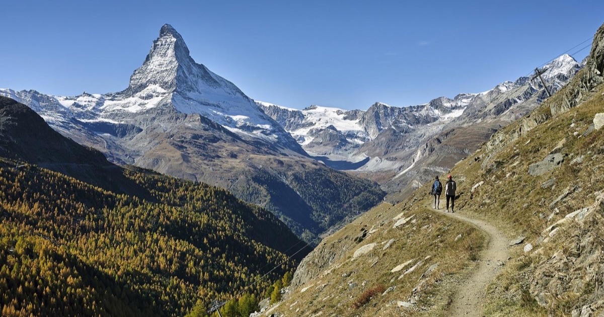
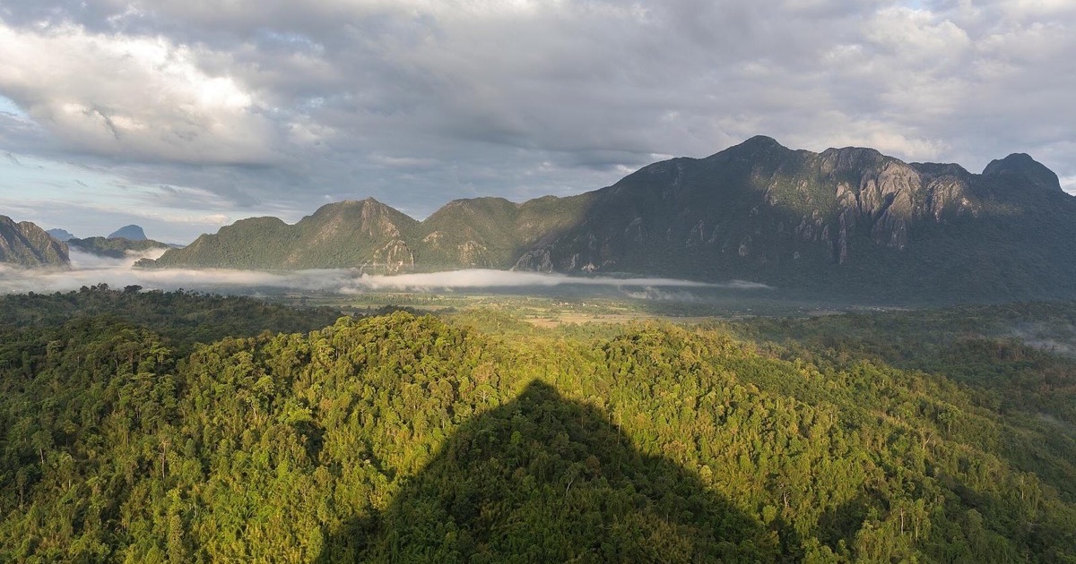
The sunrise time on your phone assumes a flat sea-level horizon. In the mountains the sun reaches you when it clears the ridge, often more than an hour later.
Read more →Sun times that count the mountains, for photographers and travelers, with real numbers from the Sunreach engine: places, travel guides, explainers and honest comparisons with other sun planning apps.
The sunrise time on your phone assumes a flat sea-level horizon. In the mountains the sun reaches you when it clears the ridge, often more than an hour later.
Read more →Places ·
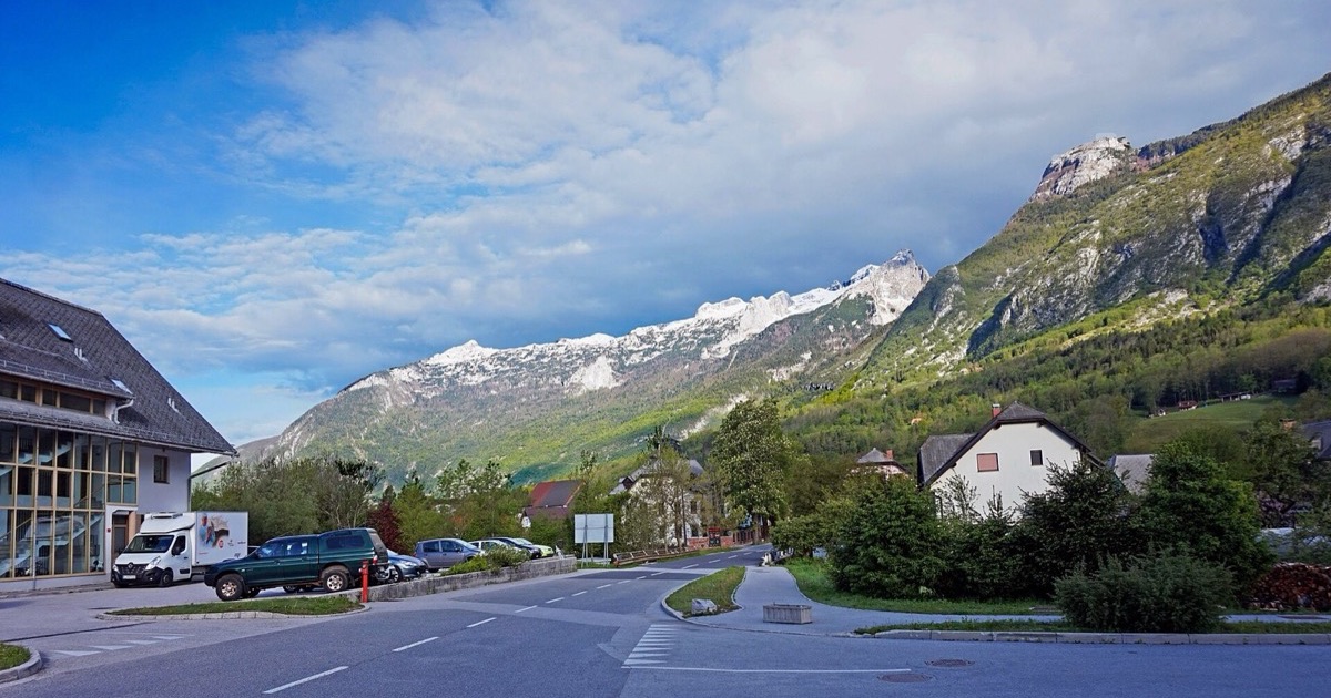
Official sunrise in Bovec is not when the sun reaches the town. Month-by-month times from 40 m terrain, and how much light the Julian Alps take.
Read more →Places ·
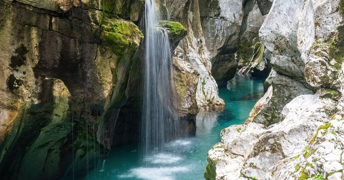
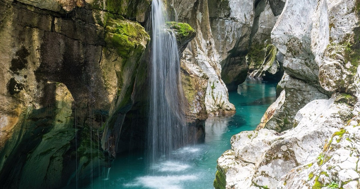
The Great Soča Gorge loses more than six hours of sun on some days to the mountains. Month-by-month times from 2 m lidar, and why there is never golden light at the bottom.
Read more →Golden hour happens in the sky every day, but in a valley the warm low sun often never reaches the ground. The 6° rule, with Bovec and the Soča gorge as examples.
Read more →The definition, the maths in one paragraph, golden and blue hour tables for six cities, and the one thing every golden hour calculator leaves out.
Read more →TPE is the veteran map-based planner with the moon and Milky Way. Sunreach answers one question TPE leaves to you: when is the sun on this exact spot?
Read more →PlanIt Pro has the biggest feature list of any photo planner, offline elevation and Android. Sunreach does one thing it does not: sun-on-spot times from lidar.
Read more →SunCast draws terrain and building shadows on a 3D map and adds solar-panel tools. Sunreach turns the terrain into times for one spot, with lidar where it exists.
Read more →Twelve sun planning apps side by side, sorted by the question most of them skip: do they know when the sun actually clears the mountains at your spot?
Read more →Travel ·
The Great Soča Gorge is famous for turquoise water, but the sun reaches it only for part of the day. When to go, month by month, from 2 m terrain data.
Read more →Travel ·
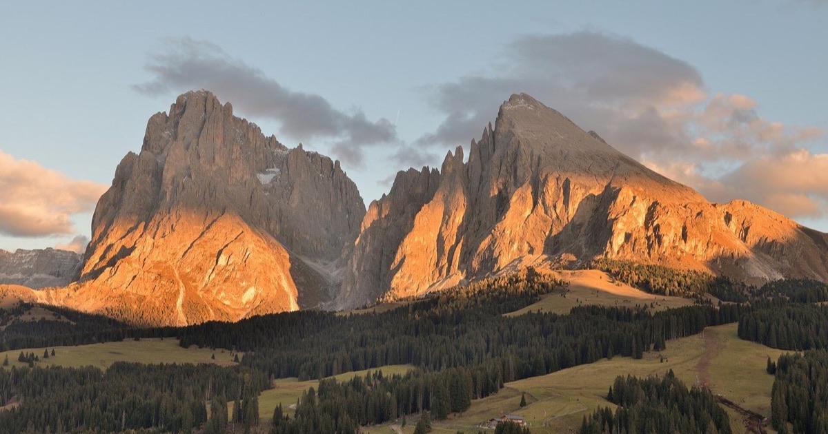
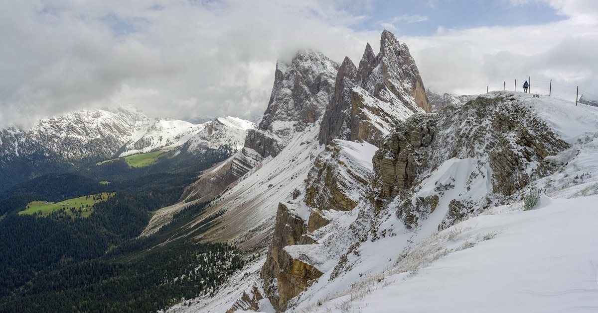
Sunrise in the Dolomites is a different time at every spot. Computed sun times for the nine places everyone visits, from Seceda to Lago di Sorapis.
Read more →Places ·
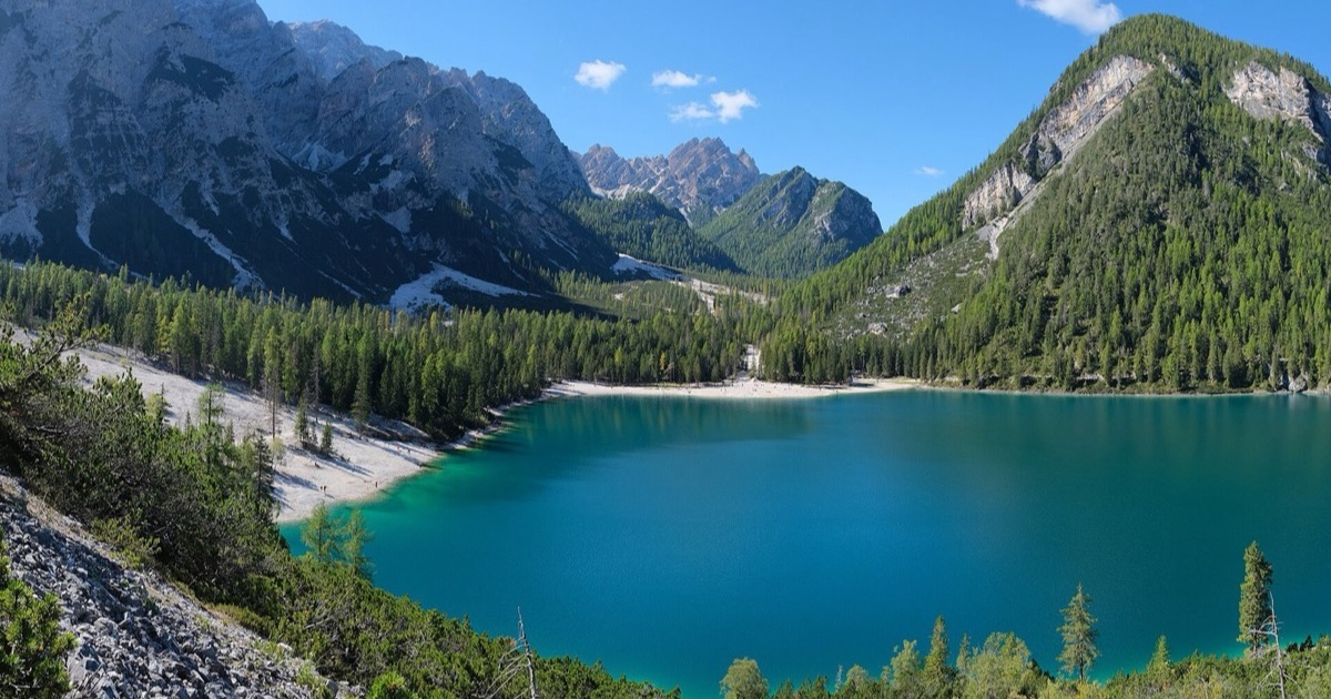
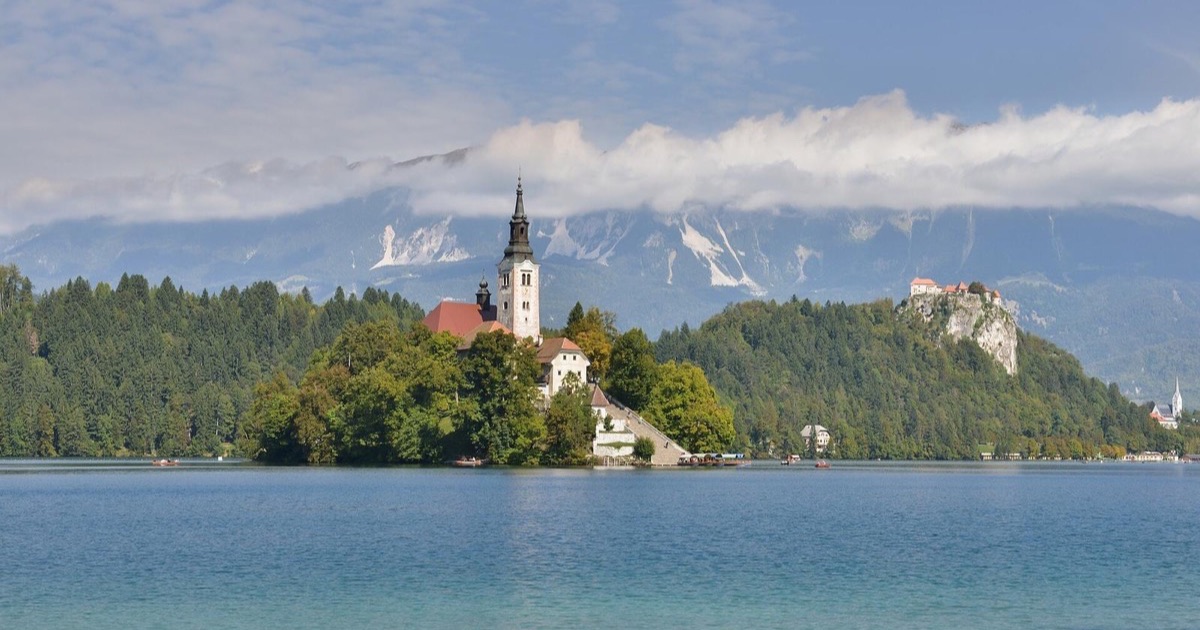
The most photographed lake in the Dolomites is in shade at sunrise for most of the year. When the sun reaches the water, month by month.
Read more →Places ·
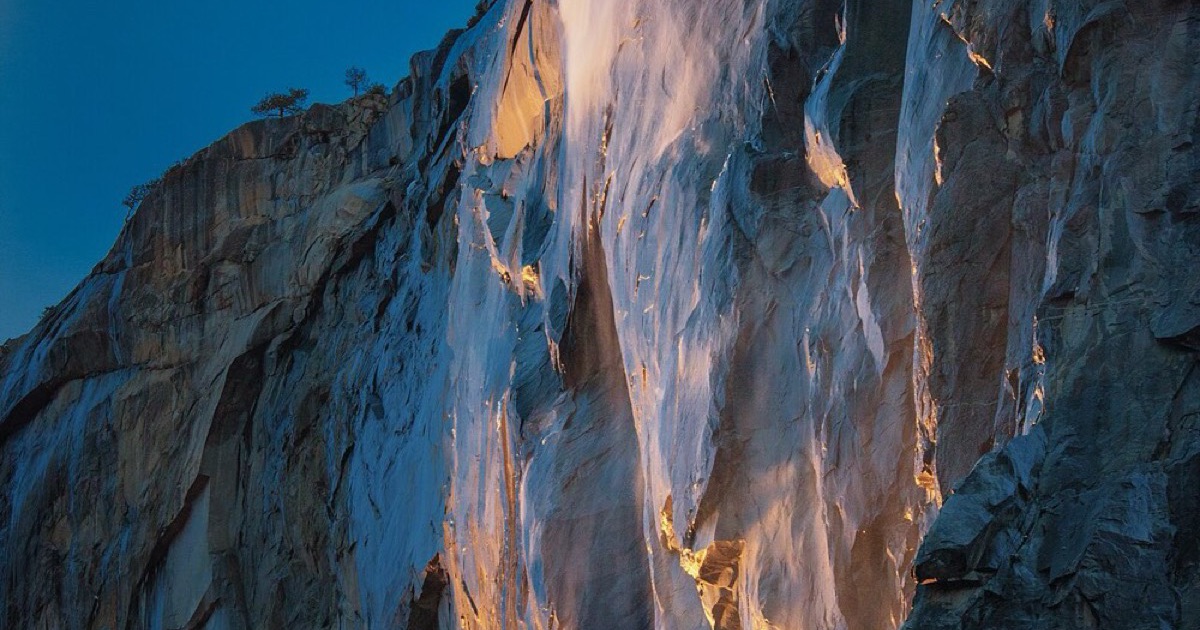
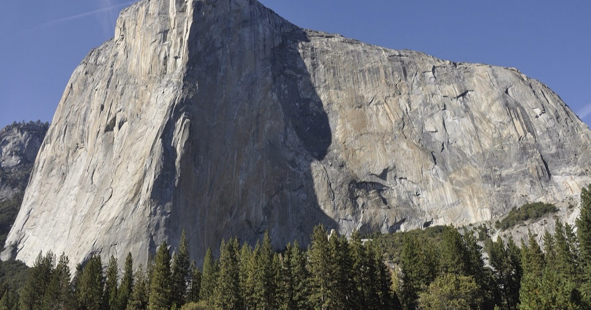
Every February the setting sun turns Horsetail Fall on El Capitan orange. Last-light times for each evening of February 2027, computed from lidar.
Read more →Places ·
In summer the lower wall of El Capitan stays in shade until late morning and bakes all afternoon. Month-by-month sun times for the wall, the summit and El Cap Meadow.
Read more →Travel ·
A sunny terrace for lunch, a lake while the water is lit, a shady trail on a hot day: simple rules for travelers, each with computed times from real places.
Read more →Travel ·
A sunny viewpoint, an outdoor lunch and an evening walk: use sun and shade to choose when to visit each stop, anywhere you travel.
Read more →Travel ·
Check the surrounding hills before booking an outdoor stay, and know when a ground-based model cannot answer for a particular balcony.
Read more →Pick the camera position, check whether the light reaches it, and understand the difference between a sunlit viewpoint and a sunlit subject.
Read more →Choose a light window for an aerial composition, preview the view from a chosen height and explore how the camera and daylight change together.
Read more →Places ·
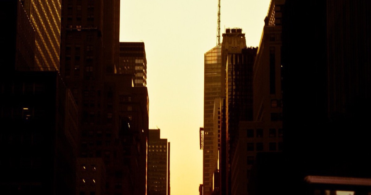
Twice a year the setting sun lines up with Manhattan's cross streets. The evenings of 2027, minute by minute, with the New Jersey skyline in the calculation.
Read more →Places ·
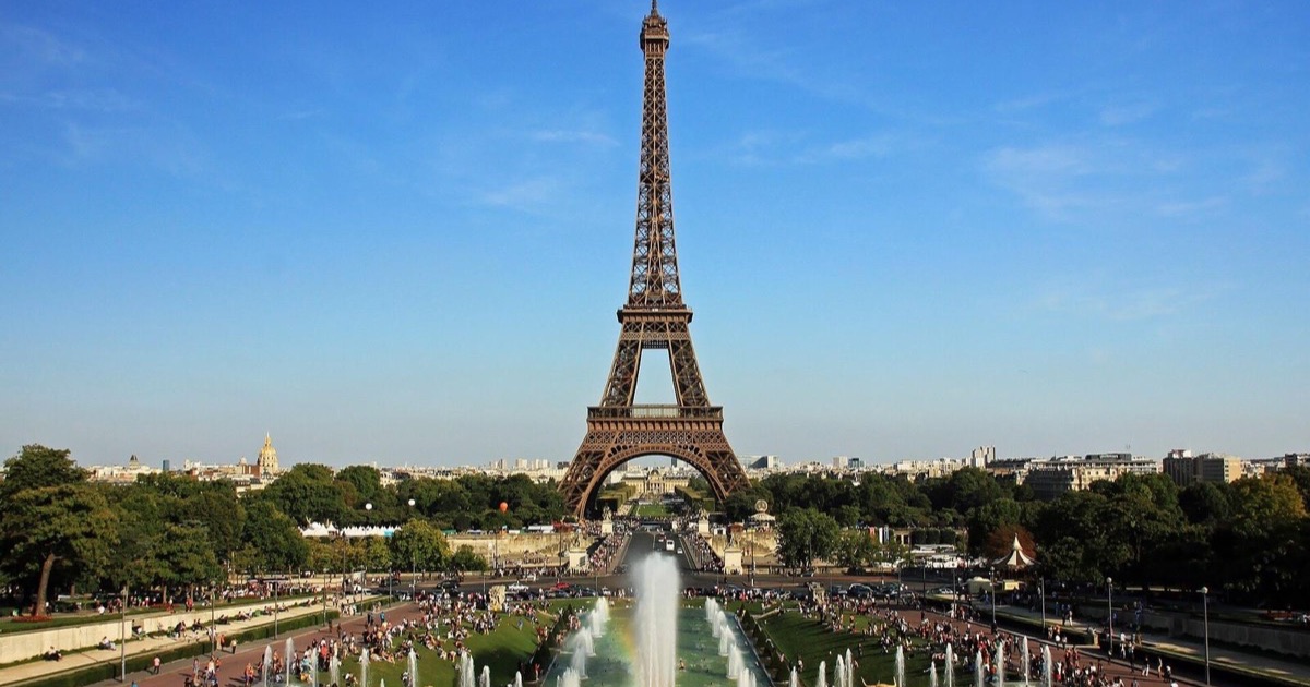
Every winter morning the low sun crosses behind the tower around 09:20–09:50. Around the solstice it sits just above the first floor.
Read more →Buildings decide the light in a city. Turn the 3D city view to the minute you plan and see which side of the street is lit.
Read more →Which summits catch the pink light after sunset, for how long, and whether a cloud bank will kill it. Plus the mornings a valley fills with fog.
Read more →Shadowmap simulates sun and shadow on 3D buildings and trees, with solar analytics. Sunreach gives sun-on-spot times from terrain and lidar, plus AR and alignment search.
Read more →PhotoPills is the photographer’s toolbox: map planner, alignment finder, AR, Milky Way, exposure tools. Sunreach adds what it leaves to you: the terrain.
Read more →Sun Seeker is a long-running sun compass with AR, a map, widgets and a Watch app. Sunreach counts the mountains and adds 3D.
Read more →Sun Quest is a cheap sun tracker with AR, terrain and building shadows in Pro. Sunreach turns the terrain into times and adds 3D and alignment search.
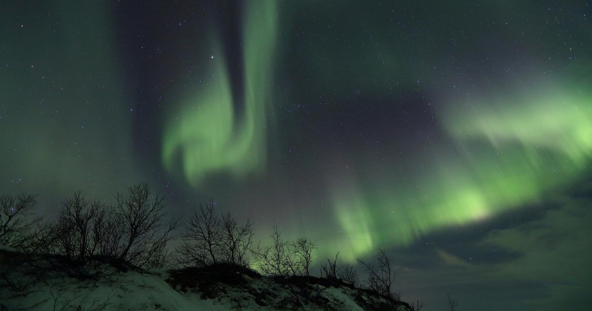
Read more →From any Kp in Tromsø to Kp 4.9 in London and Kp 7.3 in the Alps: what decides it, and how far ahead you can know.
Read more →Magnetic midnight is 23:28 in Edinburgh and 02:19 in Yellowknife. Away from it the oval pulls back: about 0.8 Kp more at dusk, 1.8 at dawn.
Read more →Kp says how far south the aurora reaches. Bz says whether it will brighten in the next hour. The map says where it is now. Read them in that order.
Read more →