 Sunreach
Explainers · Updated
Peak light and valley fog: when is it worth going?
After the sun leaves your spot, high faces opposite it keep direct, reddening light for a few more minutes. Sunreach works out from the terrain which peaks those are and how long each stays lit, then checks the forecast for cloud in the way.
Sunreach is a 3D and AR sun tracker for iPhone and iPad, coming soon to the App Store. This guide describes the current app; planned upgrades are listed separately. Terrain coverage varies by location.
Which peaks catch the last light?
The ones on the skyline opposite the sun that stand higher than the ridge between them and the sun. Sunreach lists them with direction, distance and height, longest-lit first, and the minutes each one stays lit after your spot goes into shade.
The same terrain that gives you a late sunrise in a valley decides the evening glow. A summit 10 km away and 1,500 m above you can stay lit for many minutes after your meadow loses the sun. In the morning it works the other way: the high faces get the first light while you are still in shade.
The plan also marks Earth’s shadow, the blue-grey band that rises opposite the sun after sunset with the pink Belt of Venus above it, and shows when it clears the skyline from your spot.
How does the go or don’t-go work?
The low light has to reach the peaks, so the sky toward the sun 50 to 150 km out needs a gap, and the summits themselves need to be out of cloud. Sunreach reads those layers from the Apple Weather forecast and gives go, maybe or don’t go.
A clear sky overhead is not enough. A cloud bank on the horizon toward the sun cuts the light before it reaches the mountains, and a cap of cloud on the summit hides it. Treat the answer as a rough guide that saves you a pointless drive, not a promise of colour.
Sunreach computes this for any spot on Earth, from the real terrain around it. Get the app ↓
When does a valley fill with fog?
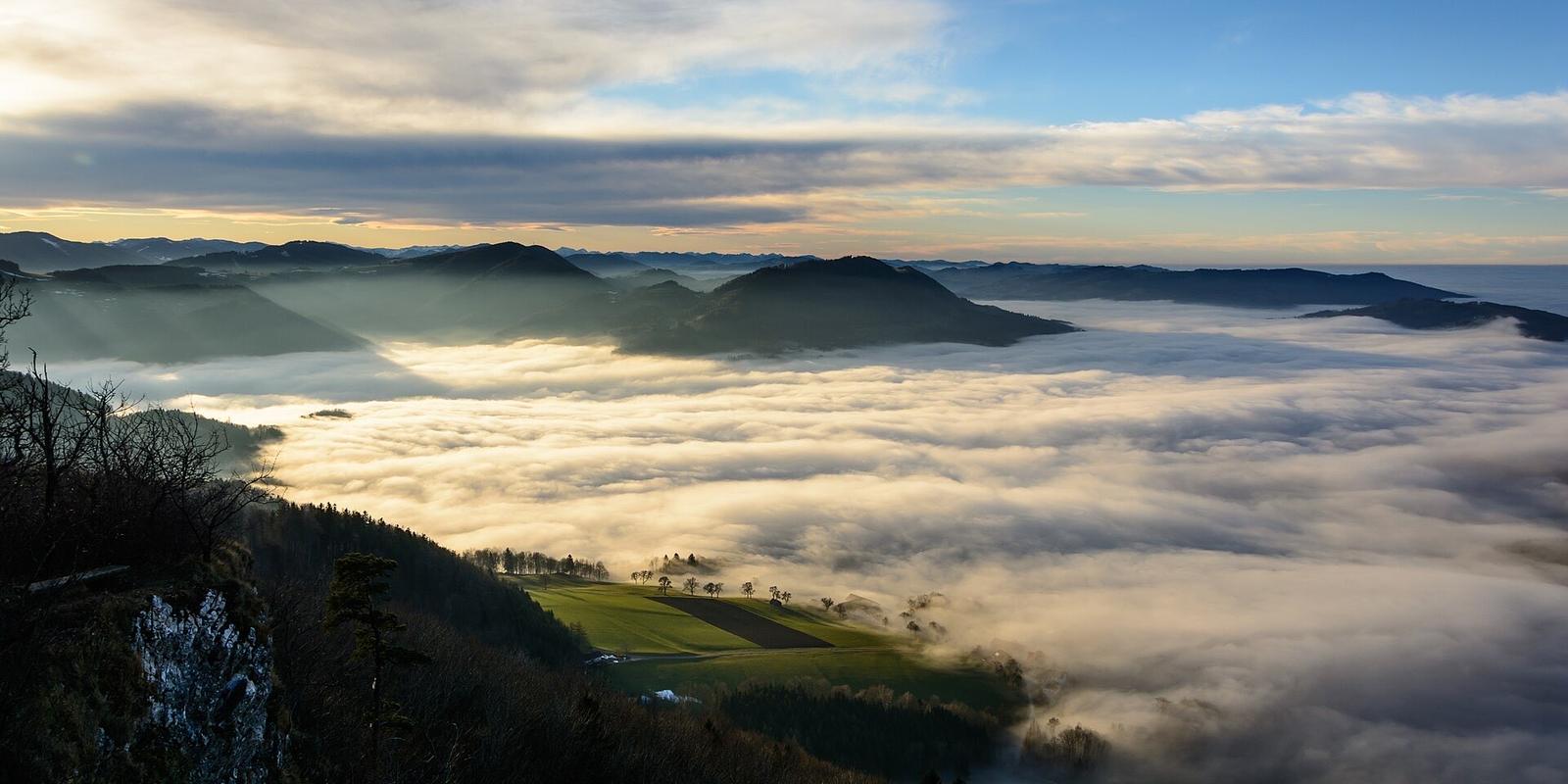
Radiation fog forms on calm, clear nights when the air cools to its dew point, and the cold air drains into valleys and basins. Sunreach reads the night’s forecast at your spot together with the shape of the ground and gives a fog outlook, a rough top of the fog layer and the summits above it.
For a sea of fog you want to be above it. The plan names nearby summits and ridge tops higher than the expected fog top, with distance and direction, and says when the fog usually lifts, about two to three hours after sunrise. It is a rough guide from the forecast and the terrain: fog tops vary by a hundred metres or more from one morning to the next.
How do you use this to plan a shoot?
Check the evening before. If the peak-light answer says go, pick the peak with the longest glow and frame it; if fog is likely, pick a summit above the fog top and plan to be there before sunrise.
- Pick your spot and the day.
- Read the peak light row: which summits, until when, go or don’t go.
- For the morning, read the fog row: how likely, how high, which summits are above it.
- Open 3D at that minute to frame the lit peak or the fog line.
- Set an alert so you leave in time.
Both rows need a forecast, so they cover the next days, not next year. For dates further out, plan the geometry with golden hour in the mountains and check the weather nearer the time.
Frequently asked questions
Is the last light on the peaks the same as golden hour?
No. Golden hour is the sun low in the sky. The last light on the peaks is high terrain still lit, or lit again by the sky, after the sun has gone from the valley.
Does it work outside the Alps?
Yes. It uses the terrain around any spot, so it works for any mountains, from the Dolomites to the Sierra Nevada.
How accurate is the fog outlook?
It is a rough guide. It combines the forecast at your spot with the shape of the ground and has not yet been checked against many real mornings.
Sources
Ask AI about this article: ChatGPT · Perplexity · Claude · Google AI Mode