 Sunreach
Explainers · Updated
Find sun or shade in a city with 3D buildings
In a city the buildings around you decide when you get sun, more than the sunrise time does. Sunreach’s 3D city view draws the buildings and their shadows for the minute you choose, so you can see which pavement, terrace or facade is lit before you go.
Sunreach is a 3D and AR sun tracker for iPhone and iPad, coming soon to the App Store. This guide describes the current app; planned upgrades are listed separately. Terrain coverage varies by location.
What does the 3D city view show?
Zoom the 3D view in over a town and it switches to a 3D map with buildings, landmarks and their shadows for the minute on the timeline. Drag the time and the shadows move with the sun.
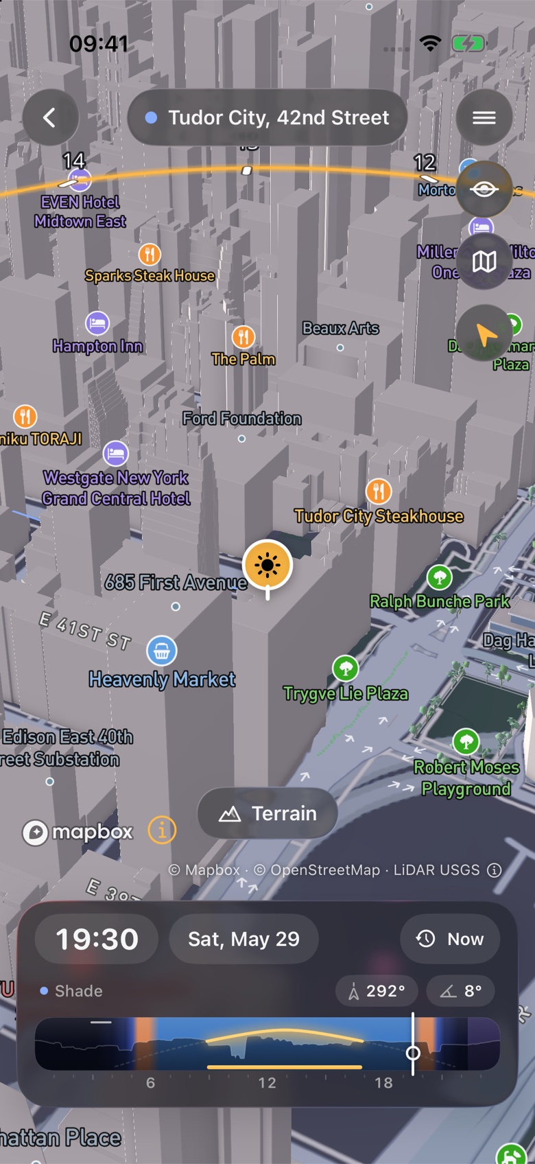
You can orbit above the block or drop to eye level and walk with the stick, then pick a lens from 16 to 400 mm to frame the view the way your camera will. The sun’s path for the day is drawn across the sky, with hour marks.
How do photographers use it?
To find the minute low sun lines up with a street, lights one facade, or sits behind a landmark. Aim at the target in eye level and alignment search lists the days and minutes it happens.
- Street alignments. Manhattanhenge is the famous one, but most grid cities have their own evenings.
- A lit subject. Turn the time until the facade you want is in sun and the street in front of it is not. That gives the contrast without blown-out pavement.
- A landmark against the sun. From Trocadéro the winter sun passes behind the Eiffel Tower at about 09:20 for weeks around the solstice.
Sunreach computes this for any spot on Earth, from the real terrain around it. Get the app ↓
How do travellers use it?
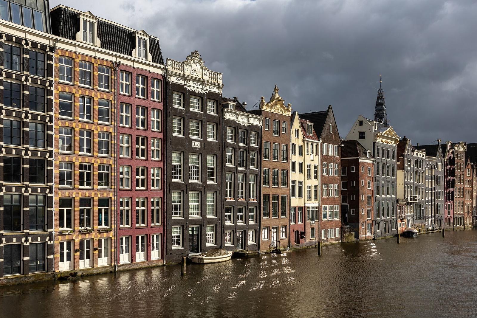
To pick a café terrace that is still in sun at 16:00 in March, or the shady side of the street at noon in August. Check the square at the time you plan to sit there, not the town’s sunrise and sunset.
Old towns with narrow streets lose the sun early in winter. A terrace facing west on a wide square can keep it for hours longer than one around the corner. Turning the time in 3D shows that difference in a few seconds. For a whole day out, see plan a sightseeing day around the sun.
How do you find your spot step by step?
Search the place, open 3D, zoom in until the buildings appear, set the date and drag the time. Move the pin to where you want to stand; the plan, the sun’s path and the shadows follow it.
- Search a street, square or landmark, or hold the map where you want to stand.
- Open 3D from the place card and zoom in over the town.
- Set the date. Today and tomorrow are free; other dates are in Sunreach Pro.
- Drag the time and watch the shadows. Switch to eye level to see it from the pavement.
- Save the spot and set an alert for that minute.
What are the limits in a city?
The buildings in the 3D view come from Mapbox’s map and their heights are approximate. Sunreach’s sun-on-spot times still use the ground only for now, so they do not count a building next to you.
Read the times in the plan as “sun above the terrain”, then check the buildings in 3D for the minute you care about. Balconies, awnings, trees and scaffolding are not on the map. The hotel balcony guide covers what a terrain model can and cannot answer for a single window.
Frequently asked questions
Which cities have 3D buildings?
Most large cities and many towns. The buildings come from Mapbox’s map, built on OpenStreetMap and other sources, so coverage follows theirs.
Do trees count?
No. The city view shows buildings and landmarks; street trees and their shade are not modelled.
Can I see the moon behind a building?
Yes. Alignment search works for the moon too, with an option to keep only nights near full moon.
Sources
Ask AI about this article: ChatGPT · Perplexity · Claude · Google AI Mode