 Sunreach
Sun on the spot: the light plan
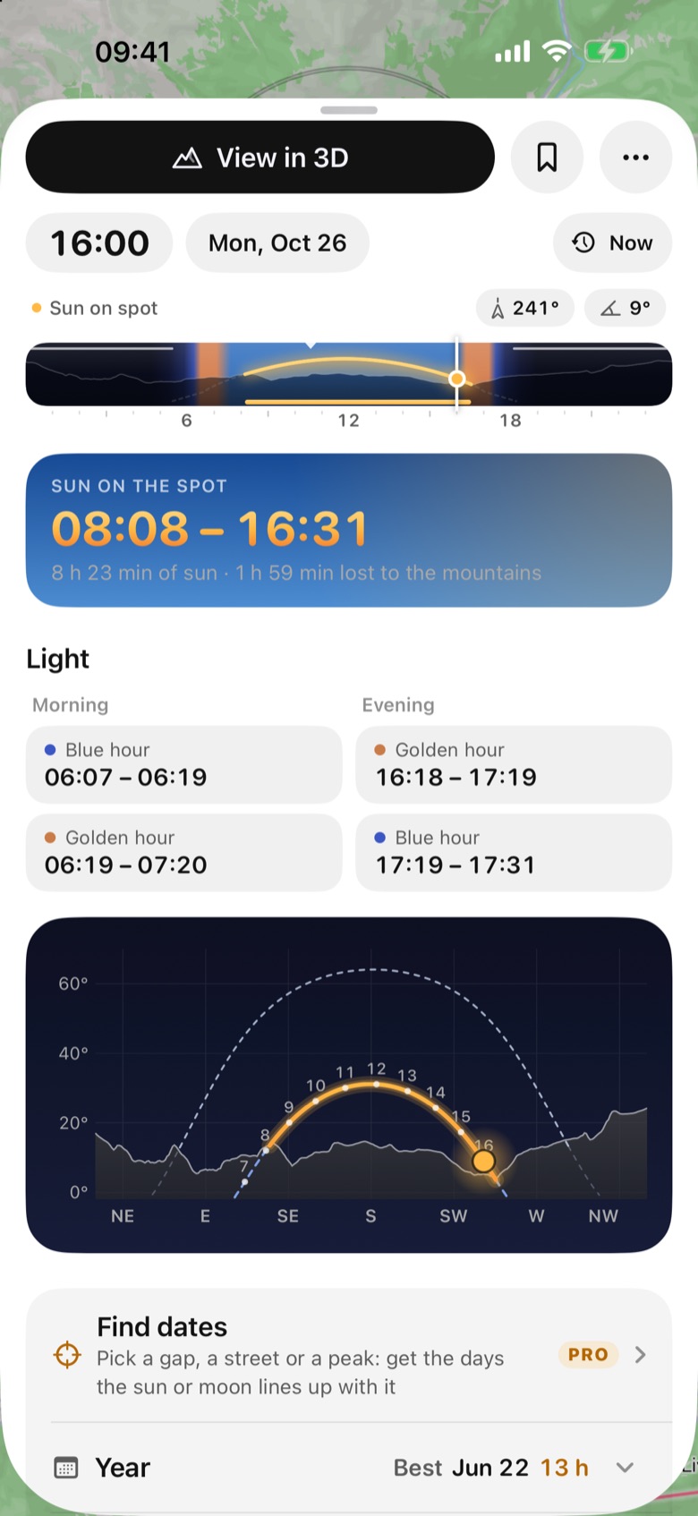
Pick any spot and the plan tells you when direct sunlight actually reaches it, not just when the sun rises. It counts the hills and mountains around the spot, so a valley that sees sunrise at 06:38 may only get sun at 08:08.
Free for today and tomorrow; any other date with Sunreach Pro.
Sunreach is coming soon to iPhone and iPad; screenshots are from the iOS Simulator, 26–27 October 2026.
What it does
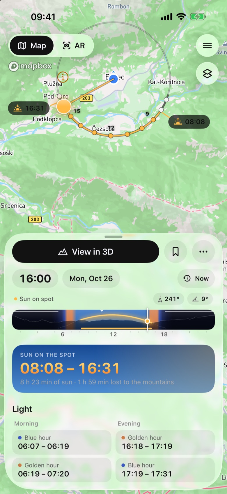
The plan is the card that opens when you pick a place. At the top is the answer: Sun on the spot, the times when the sun’s disc is above the skyline as seen from that point, with how many hours of sun that is and how much the terrain takes away.
Below it are the morning and evening blue hour and golden hour, a skyline chart with the day’s sun path drawn over the real horizon, and folding rows for the year, the night sky, eclipses, weather, peak light, fog and the polariser.
How it works
Published sunrise and sunset times assume a flat horizon. Sunreach loads the terrain around your spot (50 × 50 km, from 30 m elevation data everywhere and 2 m lidar in many countries) and works out the skyline: how high the ground rises in every direction, every half degree.
Then it follows the sun minute by minute. Whenever the top of the sun’s disc is above the skyline in its direction, the spot is in direct sun. Golden hour is the sun between 4° below and 6° above the true horizon, blue hour between 6° and 4° below. All times are in the spot’s own time zone, whatever your phone is set to.
How to use it
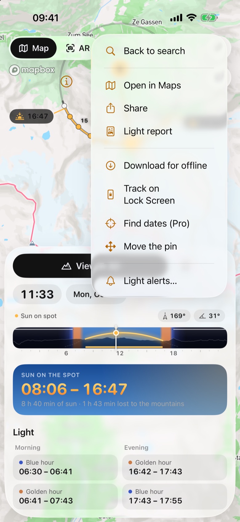
- Type a place, peak or address into the search field, or paste coordinates (decimal or degrees, minutes, seconds). You can also touch and hold the map to drop a pin, or tap the location button to plan where you are.
- Read the answer card: Sun on the spot with its times, then the hours of sun and the time lost to the mountains.
- Drag along the 24-hour strip under the clock to move through the day. The light label says Golden hour, Sun on spot, Shade, Blue hour or Night, with the sun’s direction and height.
- Tap the date to pick another day, or swipe the date sideways to step one day at a time.
- Scroll down to the skyline chart to see where the sun crosses the ridges, and open the rows below for the year, night sky, weather, peak light, fog and the polariser.
In the app
Tips
- Put the pin exactly where you will stand. In a gorge or under a cliff a few metres change the skyline, and the answer with it.
- A spot in shade can face a sunlit subject. Check the subject with its own pin, or use the peak light row for the summits around you.
- The footer of the plan names the terrain used and its accuracy, for example “30 m global · bare ground · times ±5 min” or “2 m LiDAR near the spot · times ±1 min”.
Good to know
- Trees and buildings are not counted for now: every skyline is bare ground, so a tree, roof or wall close to the spot can still block the sun.
- Times are for a clear sky. Clouds, haze and refraction near the horizon can shift what you see by a few minutes.